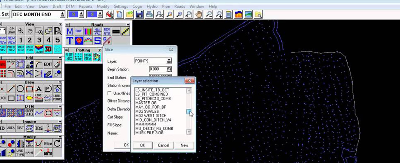
 Trimble Terramodel software is a powerful software package for the surveyor, civil engineer or contractor who requires a CAD and design package with integrated support for raw survey data.
| Contact Us To Learn More |
 Using Terramodel software you can import data collected using Trimble controllers, do all the necessary COGO calculations, quickly and easily produce roadway designs, generate contours, and calculate volumes. With the integrated 3D Visualizer, you can view your project as an interactive 3D model, which makes the design and quality control process extremely efficient. And with the powerful CAD functions available, you can perform survey, engineering and CAD tasks all in one package.
TECHNICAL INFORMATION
